

Adams Beach from Wildflower Reserve
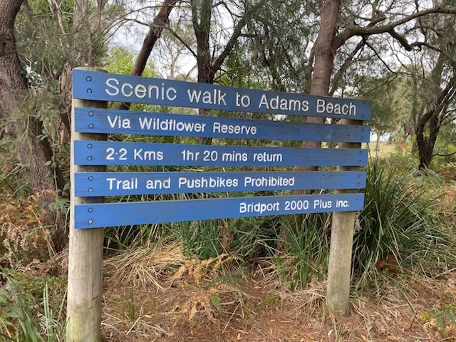 Wildflower Reserve signage |
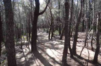
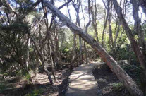
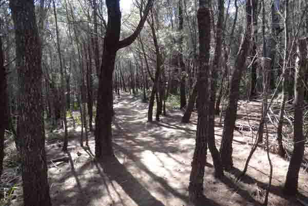
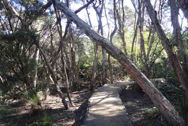
The Wildflower Reserve Walk is a 2.2 kilometre hard surface track which passes through a variety of vegetation communities. This is a 50 hectare natural reserve of heath, wetland, sedgeland and woodland and is part of Granite Point Conservation Area. |
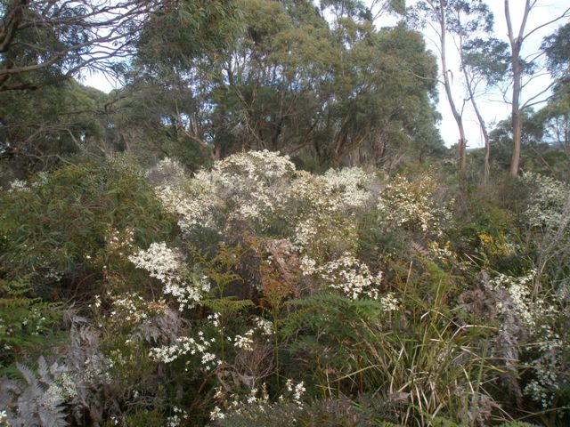
Wildflower Reserve
The Wildflower Reserve includes a number of threatened species which are locally common in the reserve. At the northern end of the track, another track leads to Adams Beach.
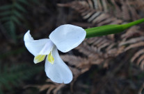
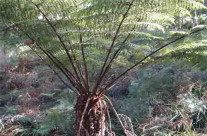
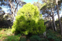
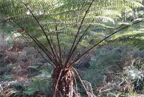
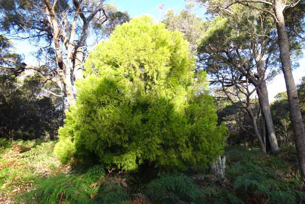
There are 180 vascular plant species growing in the reserve in very distinct vegetation communities. Consequently these vegetation communities have high conservation values, with three of the vegetation communities considered endangered, and four valuable. Among the threatened species are the Tapered Leek Orchid (Prasophyllum apoxychilum) and Juniper wattle (Acacia ulicifolia). Spectacular grass trees (Xanthorrhoea sps) communities are prevalent in the area near the Bridport Golf Course. The Wildflower Reserve is also a very special place boasting one of the best displays of heath flowers in spring such as Running postman, Waxlip orchid and Wedding Bush.
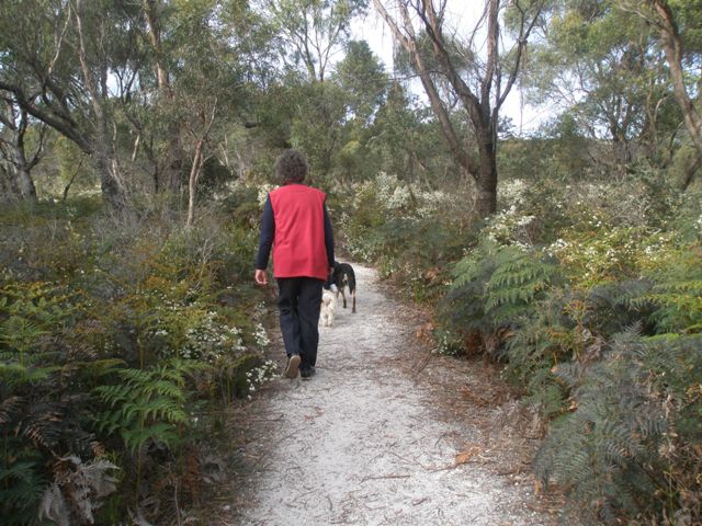
Wildflower Reserve Walkers
Over many years amateur naturalists have collected information that has so far identified 14 species of native mammals, 7 frogs, several reptiles and 49 bird species, including the Eastern barred bandicoot, spotted-tail quoll, wedge-tailed eagle and green and gold bell frog.
HUMAN IMPACT IN THE RESERVE
Tasmanian Aboriginal people used the rich resources of the coastal area for thousands of years before European settlement. They used fire as a tool to encourage new growth and attract game – the coastal heathland vegetation protected in the reserve is almost unchanged from the landscape that generations of Aboriginal Tasmanians have known.
In 1833 land grants were made to the first pastoralists, who probably used the reserve area as a rough grazing run. The first settlers also burned the heath and woodland vegetation to promote ‘green pick’ for their stock.
ROCKS AND SOIL
The rocks of the reserve are the same Devonian granites that occur from Wilsons Promontory in Victoria, through the Furneaux Islands and down Tasmania’s East Coast. Overlaying the granite are younger sands. They formed part of an extensive desert dune complex which covered the north east and Bass Strait when the climate was much colder and drier. This was at the height of the last glaciation about 20,000 years ago when Tasmania was connected to the mainland. Although the soils are nutrient poor, a great diversity of plants manage to survive.
LOOKING AFTER OUR RESERVE
We are lucky to have this area of intact natural landscape on our doorstep. As a welcome visitor or resident, please help preserve it by observing the following – Dogs are permitted along the walking track provided they are kept on a lead at all times. On Adams Beach, dogs are allowed off the leash to be exercised as far as the river outlet. Horse riding is permitted from Walter Street to Adams beach – permits available from Parks & Wildlife Service.
Please respect this beautiful environment by staying on formed tracks.
Remember the following are NOT permitted:
- Cutting of removal of vegetation
- Vehicles or motor bikes
- Bicycles
- Littering
- Dumping of domestic or garden refuse
- Fires
- Hunting or weapons
- Dogs off leash
PLANTS AND ANIMALS OF THEBRIDPORT WILDFLOWER RESERVE |